Remote Sensing
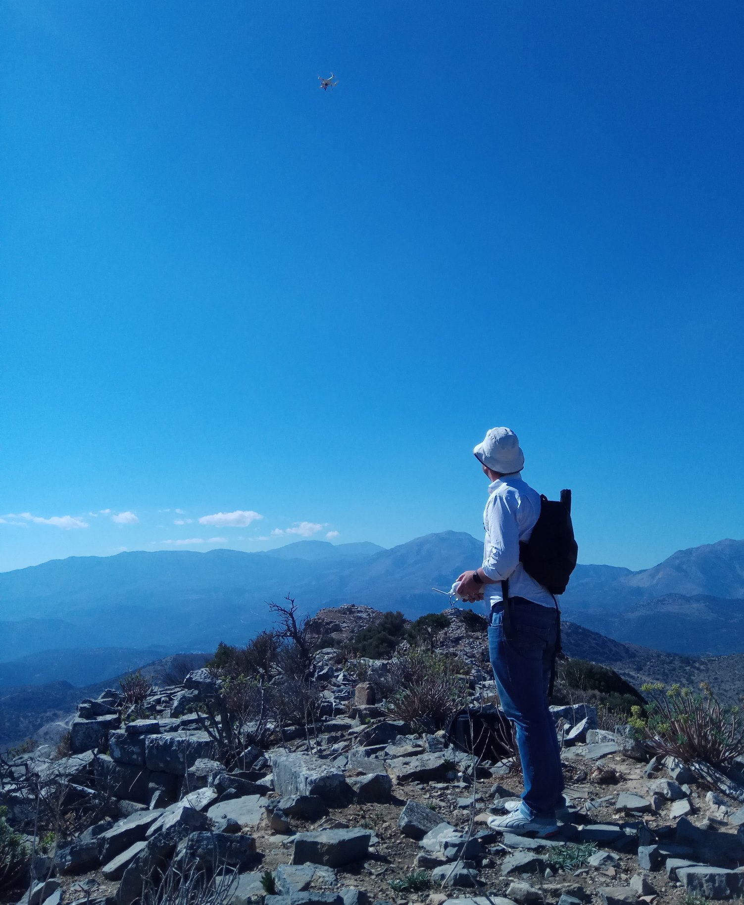
Traditional aerial photography and alternative images taken through the use of Remotely Piloted Aerial System allow for the identification of the limits and the internal architectural features of the site as well as the investigation of micro-region’s geographical features. It is reasonable at a strategic level to use the remote sensing method for studying Oxa due to the steepness of this mountainous landscape which makes parts of the site hardly accessible. This method is coupled with an examination of older aerial photos provided by the Greek Geographic Service of the Hellenic Army and old topographical maps. It will allow us to identify architectural structures and to produce of high resolution color and NearInfraRed (NIR) orthophotos, as well as 3D topographic models. In addition, the interpretation of aerial photography combined with the interpretation of multi-spectral satellite images, which give vegetation indices, could lead to the detection of buried antiquities in the subsurface.
Surface survey
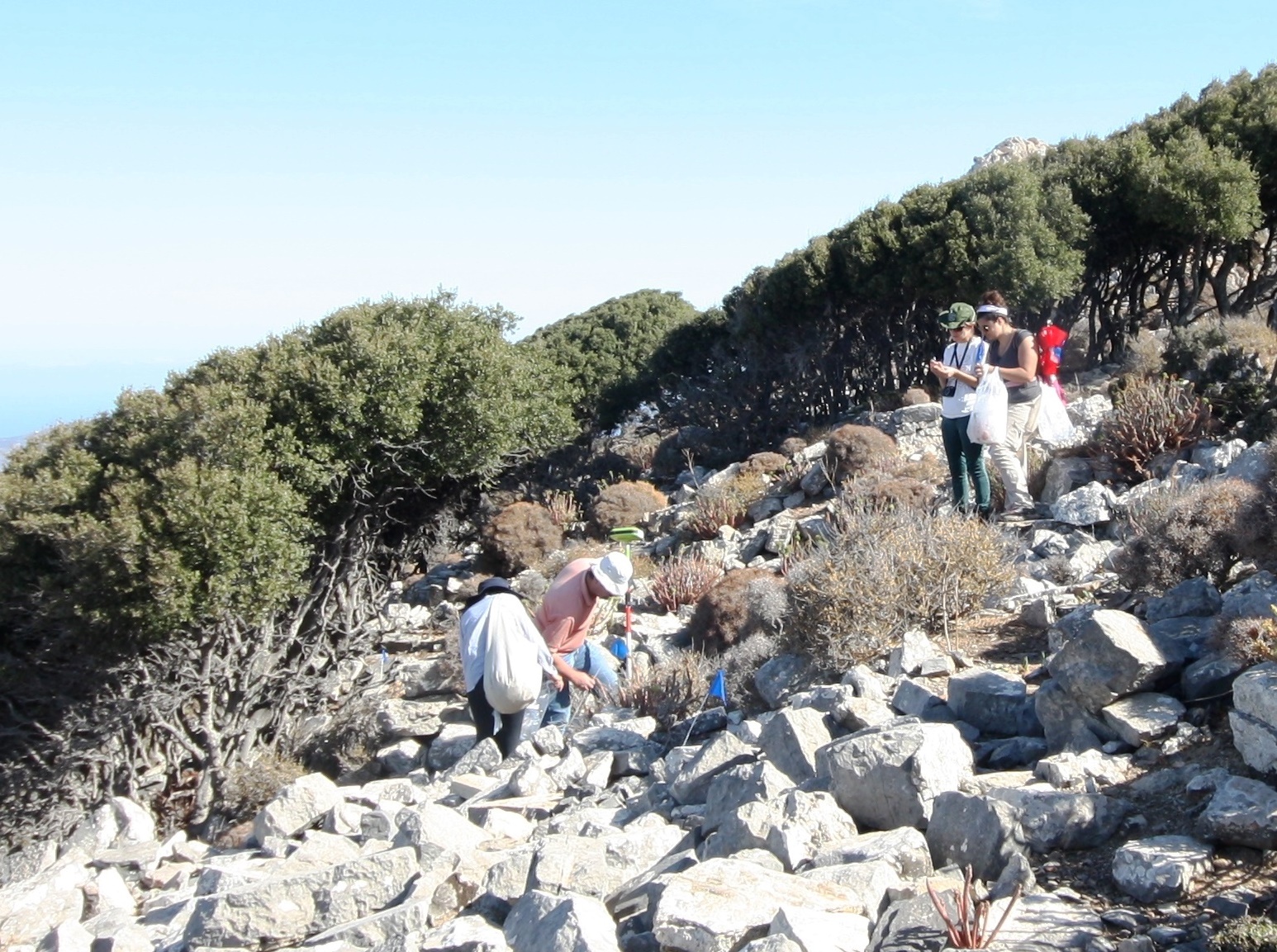
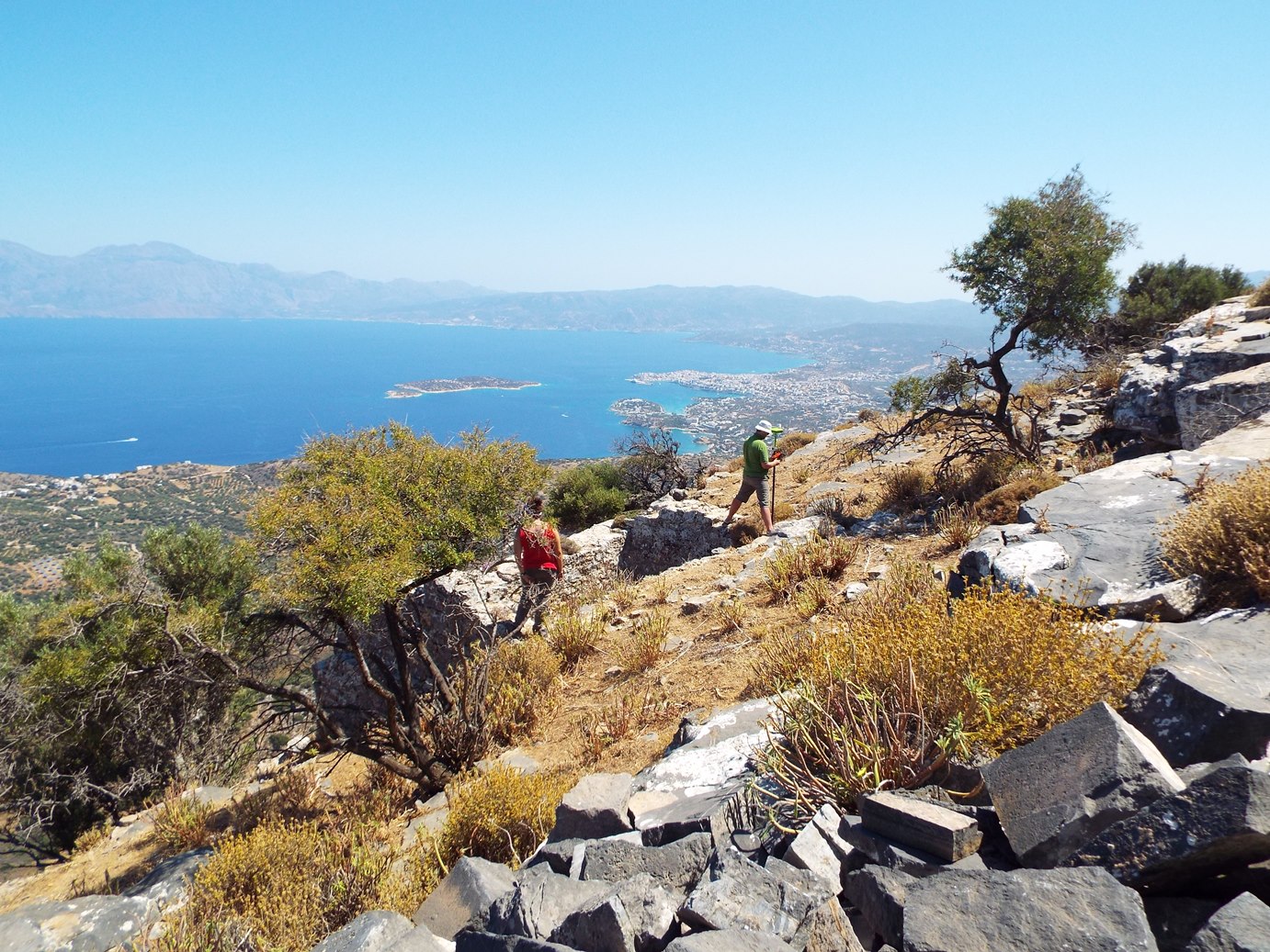
The surface research is based on the division of the survey-area into smaller segments. Due to the mountain character of the site, each of these segments will be designed on the basis of the geomorphology of the region. Teams consisting of 4 members will scan the survey-area. All of the findings will be counted and selectively collected (diagnostic pottery sherds and stone, metal or glass objects). Larger and heavier findings, such as architectural members, stone tools, or inscriptions, will be photographed in situ, and their position will be recorded by GPS. Particular emphasis will be placed on the accurate survey of the visible architectural structures with GPS. Where necessary, cleaning of architectural structures from vegetation will be undertaken.
GIS-based spatial analysis
The use of Geographic Information System (GIS), is an absolutely essential process to perform various analytical tasks in the context of Mount Oxa Project. Cartographic data will be collected and digitized. These data include topographical and morphological maps, land use maps as well as cartographic digital data from the Laboratory of Geophysical - Satellite Remote Sensing and Archaeo-environment of the IMS. A high resolution digital elevation model (DEM/DTM) will be generated from stereoscopic satellite imagery. The results of topographic surveys with GPS units will also be integrated into the above mentioned backgrounds, as well as into the high resolution digital elevation model. In this way, topographical data and aerial photography will help to better define the archaeological site and identify land use data around it